


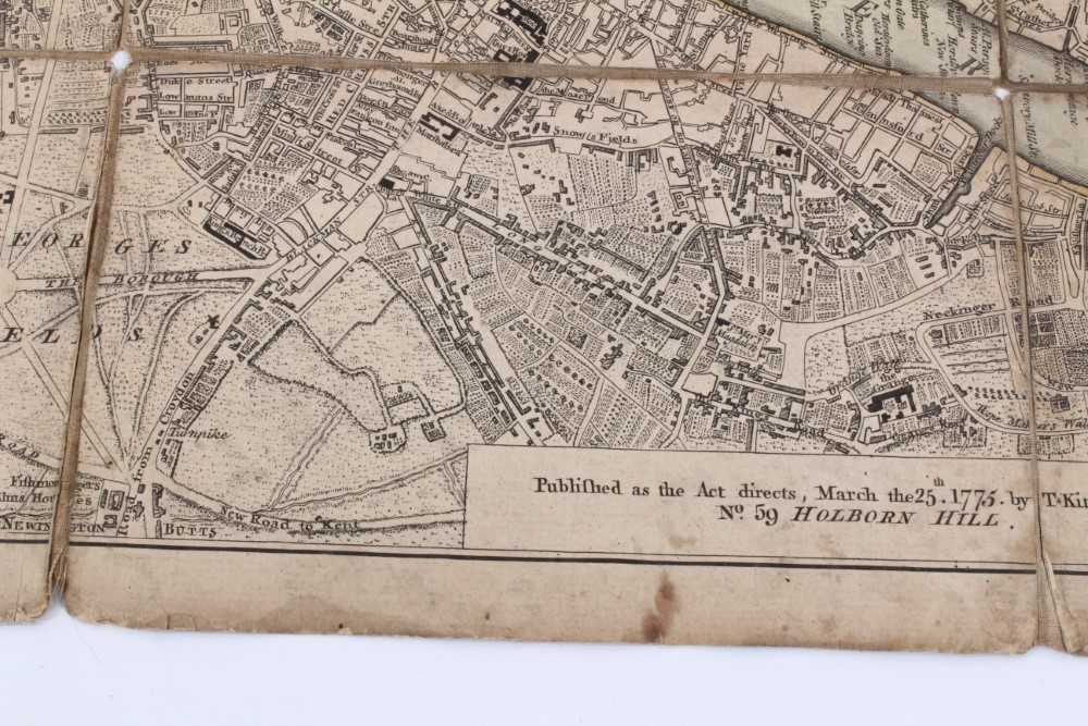


Thomas Kitchin, 18th century engraved folding map of London, 1775
Thomas Kitchin, 18th century engraved folding map of 'A New and Correct Plan of the Cities of London, Westminster and Borough of Southwark', published 1775, hand tinted, approximately 71 x 44cm, cloth backing with pen inscription Condition report: Small losses to linen at folds. Small losses to outer edges, no printed elements are lost, discolouration, browing etc, some time staining. This lot is being sold on behalf of charity
- The cost is converted to USD at the rate of 1 GBP = 1.3862 USD on 2021-03-09.
-
Sign in to view
Lot number
-
Sign in to view
Estimate
-
2021-03-09
Sale date
-
Sign in to view
Realised price
-
Sign in to view
Opening price
-
Sign in to view
House name
-
Sign in to view
Auction sale name
-
Sign in to view
Country
-
Categories
Sign in to view -
Tags
Sign in to view
SIMILAR AUCTION ITEMS