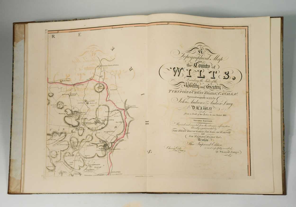
ANDREWS (John) and Andrew DRURY. A Topographical Map of the County of Wilts, Describing the Seats of
ANDREWS (John) and Andrew DRURY. A Topographical Map of the County of Wilts, Describing the Seats of the Nobility and Gentry, Turnpike and Cross Roads, Canals, &c., Surveyed Originally in 1773..., 2nd edition, revised and corrected, London: W. Faden 1810, large folio, title slightly stained, table of the market towns and villages , folding Index, County Map of Wiltshire and complete with 18 double page sectional maps hand coloured in outline, Holland House armorial bookplate, later half calf over contemporary marbled boards
- The cost is converted to USD at the rate of 1 GBP = 1.24725 USD on 2023-04-27.
-
Sign in to view
Lot number
-
Sign in to view
Estimate
-
2023-04-27
Sale date
-
Sign in to view
Realised price
-
Sign in to view
Opening price
-
Sign in to view
House name
-
Sign in to view
Auction sale name
-
Sign in to view
Country
-
Categories
Sign in to view -
Tags
Sign in to view
SIMILAR AUCTION ITEMS